
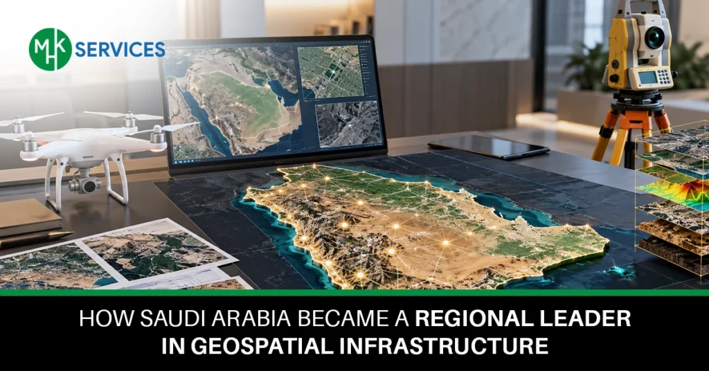
Saudi Arabia has quickly become one of the strongest examples of geospatial infrastructure development in the entire Middle East. Over the past few years, the Kingdom has invested heavily in mapping systems, digital platforms, and location-based technology to support its national growth. This progress is closely linked to Vision 2030, which pushed government bodies to build smarter cities, stronger data systems, and better planning tools.
MHK Services has watched this transformation unfold with great interest, especially as it touches sectors like real estate, transportation, and urban planning. In this blog, we will walk through the main factors that helped Saudi Arabia build a strong geospatial foundation, including national governance, smart technology, and global partnerships.
How Saudi Arabia Built Its National Geospatial Strategy
Saudi Arabia’s national geospatial strategy grew directly out of the goals set by Vision 2030. Government leaders realized that accurate location data and mapping systems were needed to support housing, transport, and city planning projects across the country. This led to the creation of a National Geospatial Strategy, guided largely by GEOSA, the General Authority for Survey and Geospatial Information.
Through proper national geospatial planning and governance, the country was able to organize how data is collected, stored, and shared between different departments. This structured approach strengthened the overall Geospatial Infrastructure Saudi Arabia has today, making it easier for public and private sectors to work with reliable and unified location data. Teams like MHK Services see this national strategy as a major reason why planning projects now move faster and with fewer errors.
How GEOSA Became the Foundation of Saudi Arabia’s Geospatial Infrastructure
GEOSA plays a central role in shaping how location data is managed across the Kingdom. As the main regulatory body, GEOSA sets rules for data collection, quality control, and coordination between government agencies. Its work created a national geospatial ecosystem where different organizations can rely on the same maps, boundaries, and reference points instead of using separate and inconsistent systems.
GEOSA also introduced standards that reduced duplication of effort and improved communication between ministries. In practical terms, this means faster approvals for construction projects, more accurate land records, and better coordination during emergency response situations. GEOSA’s steady leadership has made it one of the most important pillars supporting the broader Geospatial Infrastructure Saudi Arabia continues to build.
How the National Geospatial Platform Connects Data Across Sectors
The National Geospatial Platform acts as a central hub where different types of location data come together in one place, making it easier for agencies and businesses to access accurate information whenever they need it. MHK Services often point to this platform as a clear example of how organized data can support faster and smarter decision-making.
- Land and property data: The platform stores detailed records of land ownership, boundaries, and property values, helping reduce disputes and making property transactions faster and more transparent for buyers, sellers, and government offices alike.
- Transportation and infrastructure: Road networks, public transport routes, and infrastructure projects are mapped in detail, allowing planners to identify gaps, reduce traffic congestion, and design better connections between cities and neighborhoods.
- Environmental data: Information related to air quality, water resources, and natural landscapes is tracked closely, giving decision-makers the tools they need to protect natural resources while supporting sustainable development.
- Government services: Citizens can access public services more easily because location data helps agencies plan service centers, utility connections, and emergency response coverage based on real population needs.
- Urban planning and development: City planners use the platform to design new neighborhoods, allocate land for schools and hospitals, and ensure that growth happens in an organized and sustainable way.
How Geospatial Standards Improve Data Quality and Data Sharing
Strong data standards are the backbone of any reliable mapping system, and this focus on quality is one of the clearest signs of well-managed Geospatial Infrastructure Saudi Arabia continues to invest in. Saudi Arabia has worked hard to make sure every agency follows the same rules when collecting and sharing location information.
- Common data standards: By using shared formats and definitions, different government bodies can exchange maps and records without confusion or mismatched information.
- Data quality: Regular checks and quality control processes help make sure the information stored in national systems remains accurate and up to date for everyone who relies on it.
- Interoperability: Systems built with common standards can talk to each other easily, which saves time and reduces errors when multiple departments work on the same project.
- Data sharing between agencies: Ministries and local authorities can now request and receive geospatial data quickly, cutting down on delays that used to slow down major infrastructure projects.
- Consistent geospatial information: Citizens and businesses benefit from having one reliable source of truth instead of dealing with conflicting maps or outdated records from different offices.
How GeoAI, Digital Twins and 3D Mapping Are Advancing Saudi Arabia
New technologies are pushing Saudi Arabia’s geospatial capabilities even further, allowing planners and engineers to make smarter decisions based on detailed digital models rather than guesswork.
- GeoAI: Artificial intelligence is now used to analyze massive amounts of location data quickly, helping identify patterns that would take humans much longer to spot manually.
- Digital twins: Entire cities and infrastructure projects are being recreated as digital models, allowing planners to test changes virtually before applying them in the real world.
- 3D mapping: Detailed three-dimensional maps give a clearer picture of buildings, terrain, and infrastructure, which is especially useful for large construction and giga-projects.
- 4D geospatial data: By adding a time dimension to spatial data, teams can track how a location changes over months or years, which is valuable for long-term planning.
- Predictive spatial analysis: Advanced modeling tools help forecast future needs, such as where new schools, roads, or utilities should be built based on population growth.
How Geospatial Infrastructure Supports Saudi Industries
Location-based technology now touches nearly every major industry in the Kingdom, helping businesses plan better, work faster, and reduce costly mistakes. MHK Services regularly works with clients who depend on this kind of accurate data to make informed business decisions.
- Real estate and construction: Developers rely on accurate land data to plan projects, avoid legal disputes, and speed up approval processes for new buildings and communities.
- Oil and gas: Mapping tools help energy companies track pipelines, monitor facilities, and plan new exploration sites with greater precision and safety.
- Transportation and logistics: Delivery companies and logistics firms use location data to plan efficient routes, track shipments, and reduce fuel costs across long distances.
- Tourism and hospitality: Mapping platforms help tourism authorities highlight attractions, plan new hotels, and improve visitor navigation across historical and natural sites.
- Energy and utilities: Power and water companies use spatial data to plan new connections, monitor infrastructure health, and respond quickly to outages or repairs.
How International Partnerships Strengthened Saudi Arabia’s Geospatial Position
Saudi Arabia has not built its geospatial capabilities alone. The Kingdom has actively participated in global forums such as UN-GGIM, the United Nations body responsible for setting worldwide geospatial standards. Through these international partnerships, Saudi officials have learned from countries with mature systems, including a well-known cooperation with Singapore that focused on knowledge exchange and best practices for national mapping.
This global engagement has also helped improve the country’s standing in the G20 Geospatial Ranking over recent years. By aligning local systems with global geospatial standards, Saudi Arabia ensured its data remains compatible with international systems, which supports trade, research, and cross-border projects. This global engagement has played a major role in shaping the country’s growing international role and helped strengthen the foundation of Geospatial Infrastructure Saudi Arabia relies on today.
What Makes Saudi Arabia a Regional Leader in Geospatial Infrastructure
Several factors together explain why Saudi Arabia now stands out as a regional leader. Strong national governance through GEOSA gave the country a clear direction from the start. Building an integrated geospatial infrastructure allowed different sectors to share information smoothly instead of working in isolation.
Consistent data standards improved trust in the information being used, while advanced technology such as GeoAI and digital twins pushed capabilities even further. International cooperation added valuable knowledge and credibility on the world stage. These achievements are reflected in the country’s strong G20 Geospatial Ranking, which stands as measurable evidence of the progress made. Taken together, these factors directly answer why Geospatial Infrastructure Saudi Arabia is often mentioned as a model for other nations in the region to follow.
Conclusion
Saudi Arabia’s journey toward becoming a regional leader shows what is possible when clear governance, modern technology, and international cooperation come together. From GEOSA’s regulatory role to the rise of smart cities and advanced tools like digital twins, the Kingdom has built a strong and reliable system for managing location data.
As Vision 2030 continues to guide new projects, the future of Geospatial Infrastructure Saudi Arabia looks set to expand even further, supporting industries and communities across the country. MHK Services remains committed to helping businesses understand and benefit from these developments as Saudi Arabia continues shaping the future of geospatial technology in the region.
FAQs
Why is Saudi Arabia a leader in geospatial infrastructure?
Saudi Arabia combines strong national governance, unified data standards, and modern technology like GeoAI to build one of the most organized geospatial systems in the region, backed by clear support from Vision 2030.
What is GEOSA in Saudi Arabia?
GEOSA is the General Authority for Survey and Geospatial Information, the government body responsible for regulating, coordinating, and setting standards for all geospatial data collected and used across the Kingdom.
What is the National Geospatial Platform?
It is a central digital system that brings together land, transportation, environmental, and government data in one place, making it easier for agencies and businesses to access accurate location information.
How does geospatial technology support Vision 2030?
Geospatial technology helps planners design smart cities, improve infrastructure, and manage resources efficiently, all of which are key goals under the Vision 2030 national development plan.
How are GeoAI and digital twins being used in Saudi Arabia?
GeoAI helps analyze large amounts of spatial data quickly, while digital twins allow planners to create virtual models of cities and infrastructure to test changes before building them in real life.